Pays de Loire is one of the thirteen regions that conform the French Republic. The great attraction of this region is the Loire River, which crosses two of the five departments until it finally flows into the Atlantic Ocean.
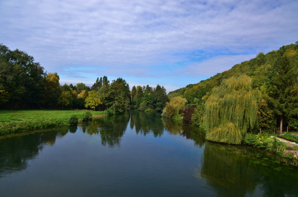
The tributaries of the river that run through this region are the Loir, the Sarthe River and the Mayenne River. In total, there are more than 18,000 km of rivers that favor the flora and fauna of this wonderful place, making it a unique space for hiking.
The relief of this region is formed by hills of the Vendée to the south, to the north of Sarthe and Mayenne, by the Coëvrons, the Mancelles Alps, the Perseigne Forest and the Perche hills. The highlight is the Mount of Avaloirs. Most of the region is located in the Armorican massif.
In Walkaholic we invite you to discover some of the hiking trails in Pays de la Loire.
Contents
GR-3 Trail
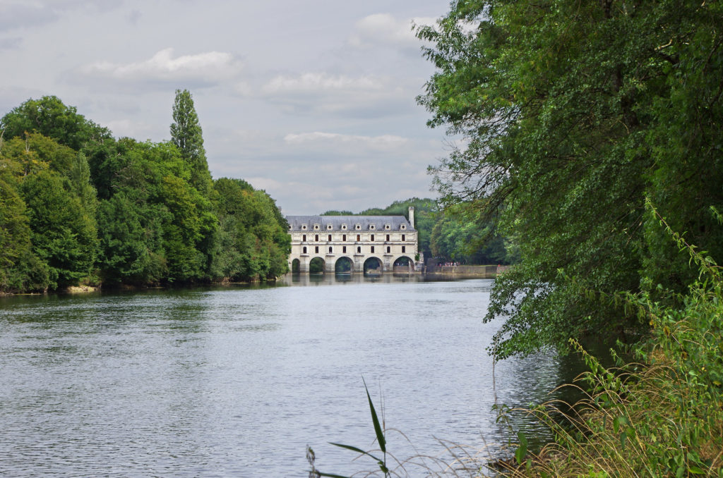
This spectacular route takes you along the Loire River, a path known for its lush castles, beautiful forests and medieval cities.
The path of the Loire route is the first “official” GR, its first section was opened in 1947, it starts at Mont Gerbier-de-Jonc until La Baule.
You can travel this route in 52 stages, it has a distance of approximately 1,250 km to discover wild landscapes of the Loire River, the flora and fauna of the parks, reserves and the vast forests.
At the foot of the Mont Gerbier de Jonc, the altitude exceeds 1,400 meters, therefore it is recommended to hike this route in spring, from April to May, after the snow has melted.
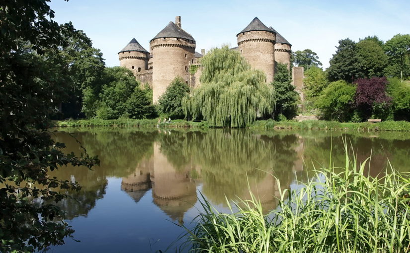
Along the path you will find numerous Loire Castles, such as those of Sully-sur-Loire, Chambord, Chaumont-sur-Loire, Villandry, Azay-le-Rideau, Montsoreau, Saumur. You can also see the “troglodytic” (galleries excavated in the rock converted into houses or wine cellars) and the vineyards, such as those of Vouvray and Anjou.
Les méandres de la Sarthe
The route of Les Méandres de la Sarthe is full of wonderful landscapes, its difficulty is medium and it has a length of 16 kilometers and approximately 320 meters of unevenness.
The Sarthe circuit allows you to discover the Mancelles Alps from Saint-Léonard-des-Bois through Saint-Céneri-le-Gérei, a city classified as one of the most beautiful in France.
Des Pâtis aux Fontenelles
This route is of easy difficulty, it has a length of 17 kilometers with an average duration of 5 hours. It extends from La Roche-sur-Yon to Venansault, passing through shady paths along meadows, forests and rivers.
Normandie-Maine Natural Park
This natural park covers two regions, which are Lower Normandy and Pays de la Loire. It has the peculiarity of housing the Mancelles Alps region.
On this route you will find steep and rocky forests, as well as the two beautiful forests of Andaines and Écouves, paradise for hikers who love nature and fungi. In addition to groves, forests, vergeles, rivers, ponds, swamps, moors and peat bogs.
The GR of Pays de la Vallée de l’Eure
The path of the Great Route Pays de la Vallée de l’Eure runs along the homonymous river. It includes a main route to visit the Brenne Regional Natural Park.
Following 160 km of valley, you will discover prestigious heritage sites such as Anet Castle, the Royal Chapel of Saint-Louis de Dreux, Maintenon Castle, Chartres Cathedral.
You will also enjoy natural attractions and small rural farms in the villages, such as: water mills, laundries and ponds.
On this route you can notice specific activities that have been developed throughout the valley: viticulture, tannery, foundries, spinning mills, also milling, today there are a dozen industrial factories.
The trail is divided into 9 stages of travel:
- Stage 1: From Anet to Dreux.
- Stage 2: From Dreux to Nogent-le-Roi.
- Stage 3: From Nogent-le-Roi to Maintenon.
- Stage 4: From Maintenon to Jouy.
- Stage 5: From Jouy to Chartres.
- Stage 6: From Chartres to Fontenay-sur-Eure.
- Stage 7: From Fontenay-sur-Eure to Courville-sur-Eure.
- Stage 8: From Courville-sur-Eure to Saint-Maurice-Saint-Germain.
- Stage 9: From Saint-Maurice-Saint-Germain to La Loupe.
Gabarots to Juvardeill
The route from Gabarots to Juvardeill is easy to hike, it has a distance of 13 kilometers with a variant of 4 kilometers that allows you to extend the travel. The approximate duration of this route is 4 hours.
It’s a path where you’ll discover the nature of the area and the Sarthe River, considered an important factor in the development of the town.
The GR of Pays du Val de Creuse
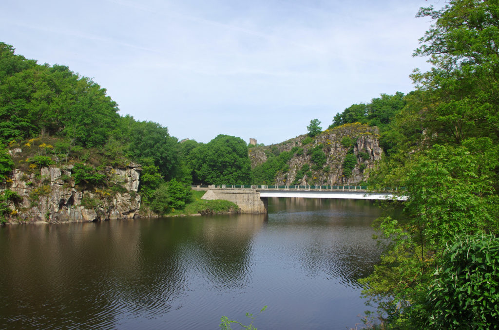
The Creuse Valley, from Crozant to Argenton-sur-Creuse, concentrates an inexhaustible diversity of colorful landscapes. Following the signs of the GR, you can enjoy stunning wild landscapes.
The GR de Pays du Val de Creuse is an approximately 100 km path that includes 6 stages. You can also prepare your own itinerary for one, two or three days on route.
The Creuse Valley knows how to delight its visitors with its colorful landscapes and its heritage full of history. Many hiking trails border the lake to enjoy the local flora and fauna.
This way runs on both sides of the river where you will encounter with natural and heritage treasures of the Valley: castles, dungeons, fortresses and villages of character. The result of the construction of a hydroelectric dam in 1926, Lake Eguzon is the largest lake in the Central-Loire Valley region with its 312 ha of water.
Boucle de Bon Garand à la Haymionière
This circular route starts the Chapelle de Bon Garand in the city of Sautron. Alternate farmland trails, wooded landscapes and it goes across some typical villages, with very beautiful buildings.
The Bou Gale de Bon Garand à la Haymionière route has a length of approximately 13 kilometers and lasts 4 hours.
Enjoying the Pays de la Loire region can be a wonderful adventure to discover all the majesty of nature in that French area.
Plan your next route, tell us your experience and recommend us the best routes to prepare our next destination.
Apúntate a nuestra newsletter semanal
Te enviaremos un correo cada semana con el nuevo artículo junto a las novedades de nuestra app móvil de senderismo.