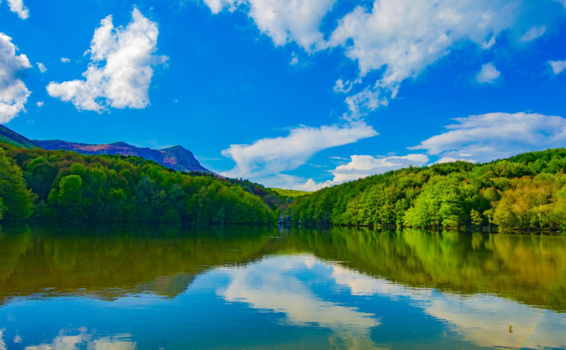
The Montseny Natural Park is a space of great ecological and geological wealth, it was declared a Biosphere Reserve in 1978 by UNESCO.
This park occupies an area of 30,120 ha., Visiting it means discovering a unique landscape, privileged views, you just have to enjoy this magical atmosphere and appreciate the silence.
It consists of three large mountain ranges: El Turó de l’Home (1706 m) and Les Agudes (1703 m), El Matagalls (1697 m) and El Pla de la Calma (El Puig Drau, 1344 m).
In Walkaholic we recommend some routes in the Montseny Natural Park that will make you fall in love.
Contents
Why visit the Montseny?
This natural park is crossed by many PR, GR and circular routes, of different levels. Ideal for experts, novice hikers or to make routes with children, which makes it the perfect place to enjoy nature.
Another of its attractions apart from its mountains are the three rivers that cross it: Congost, Tordera and Riera Majo, they maintain a large channel in all seasons. These allow the creation of torrents and waterfalls such as the Gualba and Gorg Negre.
It is also interesting to discover richness of its flora and fauna; the park’s fir forest is the southernmost in all of Europe.
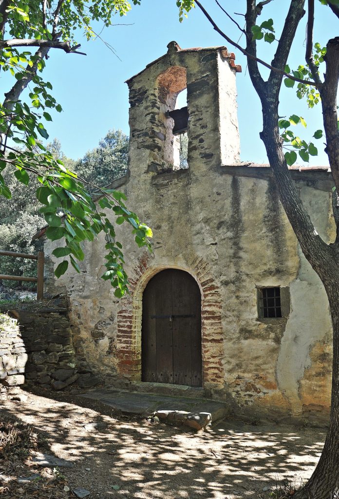
Hermitage of Sant Martí del Montseny
The trail begins in the village of Montseny to the Hermitage of Sant Martí, the route is beautiful and ideal to enjoy the walk, it has a distance of almost 6 kilometers and it is proper for all types of people.
On the way you will find a path surrounded by trees such as holm oaks and riverside so if you go in summer you will have plenty of shade. The path is very well signposted.
Swamp of Santa Fe – Turó de l’Home – Les Agudes
It is a circular route that begins in the Santa Fe Swamp, passes through Turó de l’Home to Les Agudes, it is a route of approximately 13.5 kilometers with a moderate difficulty. Its main attraction is that making this route crowns the two highest peaks of the Montseny Massif: Turó de l’Home and Les Agudes
In this first section, you leave the Santa Fe Swamp ascending to the Turó de l’Home, it is about 7 kilometers that are traveled in approximately 2h and 30 min, on this path you will climb up to 1,712 meters high, we recommend to take some minutes to enjoy the views.
The Turó de l’Home is the highest mountain in the Montseny. At the top is one of the oldest shelter/observatories in Catalonia, its construction began in 1881 but it was not until 1932 that it was launched as a meteorological observatory.
The second section is a walk along the crest of the mountain to the Pico de Les Agudes, this route is about 9.6 km away and can be traveled in approximately 4h and 30 min.
Once you reach the top at 1,706 meters high you can observe the Santa Fe Valley and the Swamp. The return is done on the opposite side of the climb, through a lush forest of ferns and beech trees until you reach Santa Fe again.
Aiguafreda – Montseny (GR-5)
This trail is the ninth stage of the GR5 crossing, it is characterized by having a steep slope. It has a duration of 5,30hrs with approximately 22 kilometers and a maximum altitude of 1,268 km.
The start is from Aiguafreda, passing through Can Puig-agudo, Collet iris de Tagamanent, Collet de la Fuente de Bellver, Collet de la Fuente del Enebro, El Vilar de la Castaña, Molino, Can Vilorda, Can Jaume Llavina, Iris de Montseny until you reach the village of Montseny.
From Arbucies to Castaño Gros dels Roters
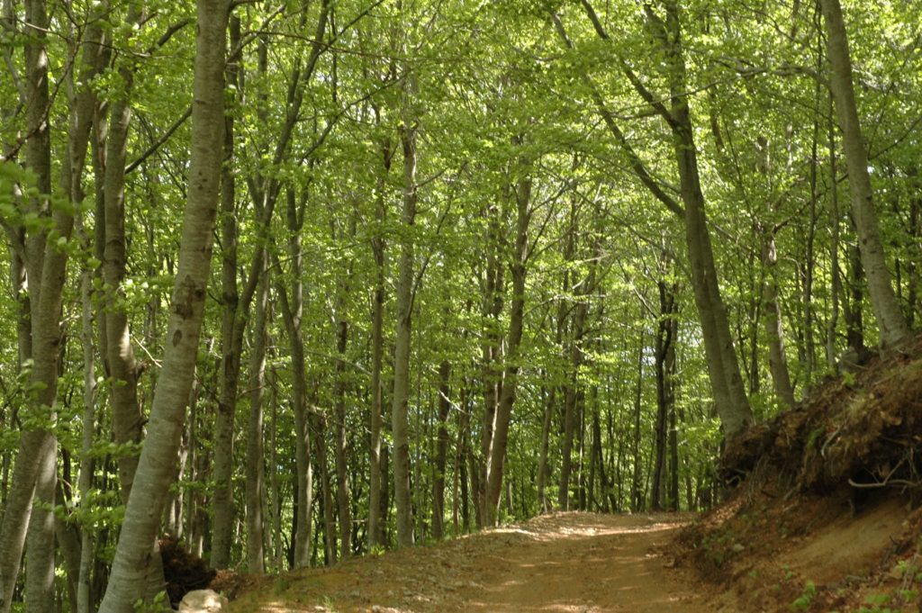
This route is circular, you will pass through lush forests with spectacular vegetation full of multiple chestnut trees, cork oaks and beech. You’ll also observe multiple streams.
The tour begins in Arbúcies passing through Sant Climent, then to Castanyer Gros del Roters until reaching Arbúcies again, it has a distance of about 13 kilometers and lasts almost 4 hours.
Gualba to the Santa Fe Swamp
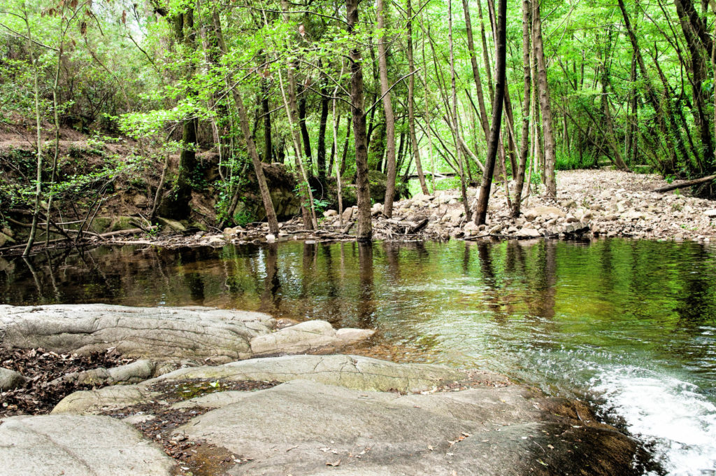
A beautiful route to contemplate the jumps and pools of the Riera de Gualba. Route of 7.20 hours and travels approximately 19 kilometers.
During the route you will find pools and waterfalls, you’ll also discover the tree known as “Suro Gros”. The road passes through a power plant to the Creu Petita and the Coll de Sesfigueres to reach the Santa Fe Swamp.
The 5 peaks of Montseny
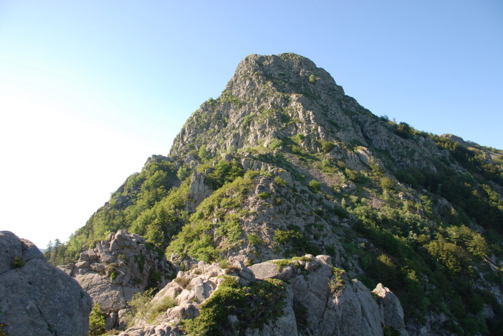
If you want a challenging route, we recommend you to choose the 5 peaks, they are approximately 40 kilometers long with a duration of 10 hours that will allow you to ascend to:
- Turó de l’Home: reaching this summit will take you 7 kilometers with a height difference of 1,200 meters.
- Les Agudes: from Turó de l’Home to Les Agudes there is little more than a kilometer and a half with a height of 700 meters approx.
- Matagalls: here you reach the third highest peak of the Montseny, you have exceptional views. On the top you will find a cross and commemorative plaques.
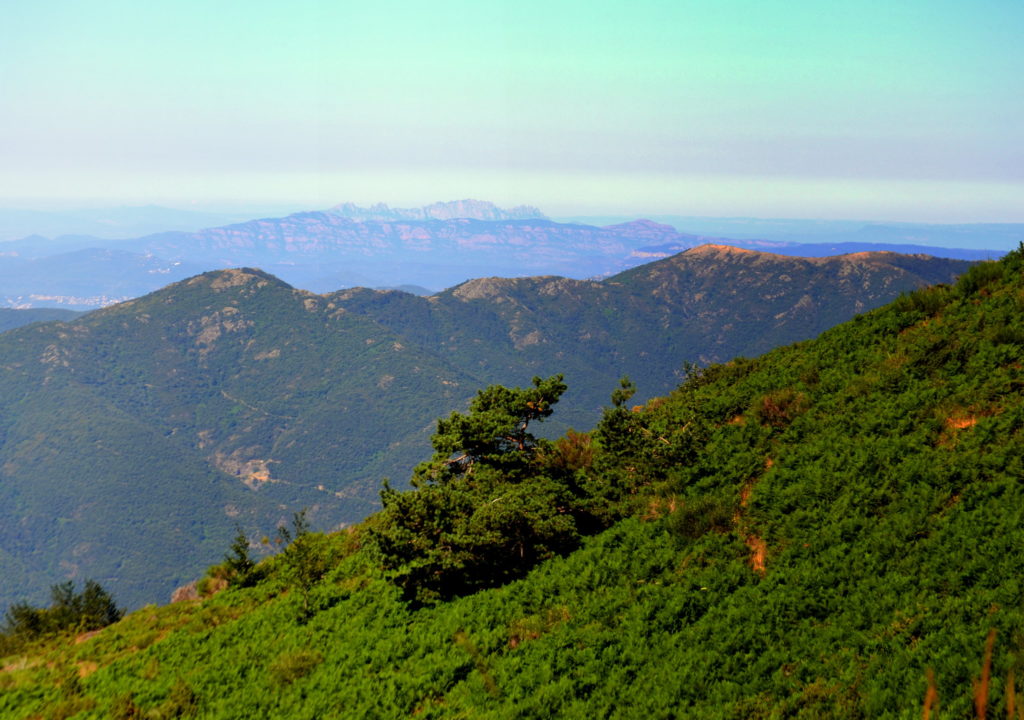
- Sui: this summit has privileged views of both the Pyrenees and the Catalan coast, it is 1,322 meters above sea level.
- Turó de Samnot: we descend until reaching Turó de Samnont at 1,318 meters high.
Undoubtedly, the Montseny Natural Park is an impressive place that has the advantage of being very close to Barcelona, so if you go sightseeing in Catalonia or if you live near Barcelona you can not miss the trails of these majestic mountains.
If you have a preferred route in this park, share it in a comment to organize our next trip.
Apúntate a nuestra newsletter semanal
Te enviaremos un correo cada semana con el nuevo artículo junto a las novedades de nuestra app móvil de senderismo.