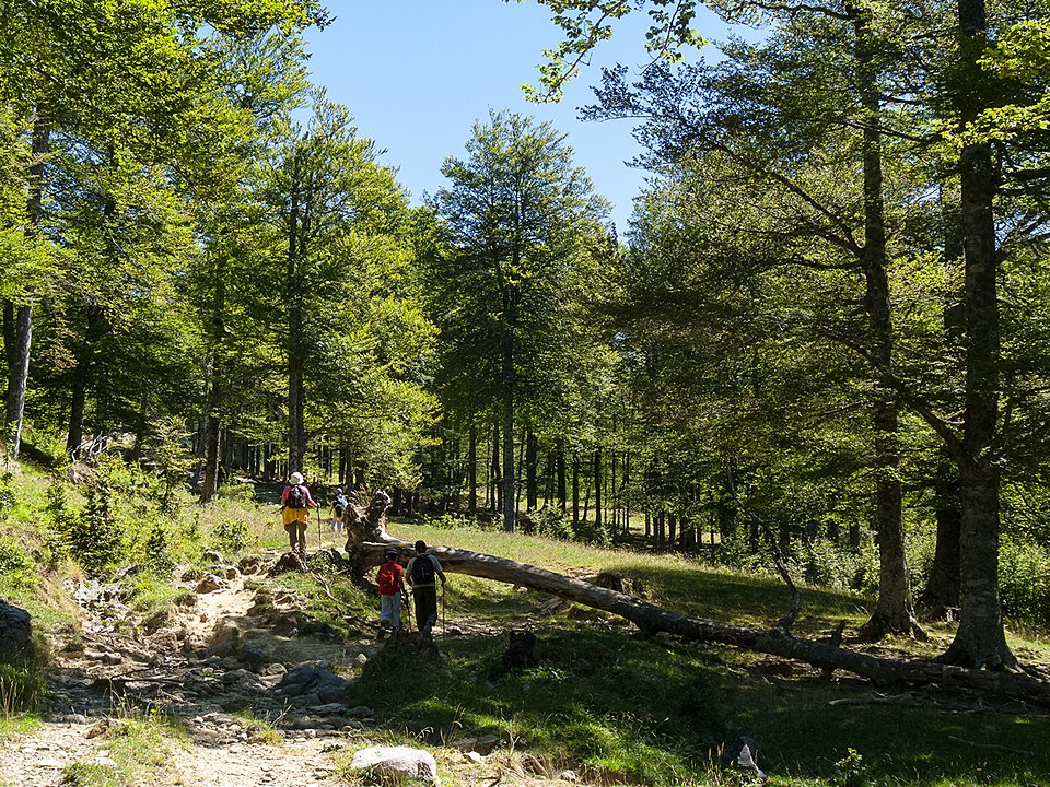
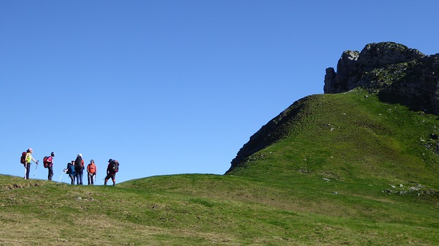
If something describes the Community of Aragon, is the variety of its landscapes. This is a real advantage for hikers, since throughout its 47,719 km² this region puts at our disposal more than 21,000 kilometers of trails.
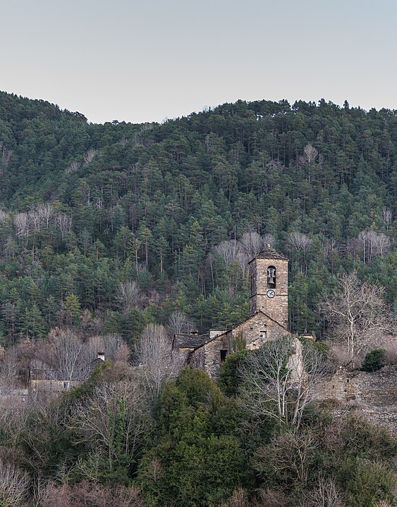
Walking them you will be able to know the region natural contrasts: from its Pyrenean heights to the Ebro basin, without putting aside the Turolenses mountain ranges. Except coastline, Aragon has everything you may need to enjoy hiking. Nor is there a lack of medieval fortifications, pre-Romanesque churches or the always challenging Road to Santiago.
From Walkaholic we have chosen some of the best routes of Aragon, so you can get to know this lovely region in full.
Torrevelilla circular route (PR-TE 14)
Starting from Torrevelilla, this 15.9 km circular route takes us to places as picturesque as the Mirador del Pilón with its 890 meters above sea level and through tracks on Mediterranean forests of pine trees and holm oaks.
Going along the slopes of the Sierra de la Ginebrosa, from where you can have a magnificent view of the Mezquín river basin, after the viewpoint you can return by a steep path to Torrevelilla through the Cañada de Verich.
We also recommend, from the town of La Ginebrosa, following the tourist trail of Tarayola-Las simas to appreciate the architecture of the municipality, of great historical value.
The Camille Path
For long excursion lovers, we recommend this circular route of moderate difficulty, divided in 7 stages, with 104 km in length that runs through the Natural Park of the Western Valleys in Aragon and the Pyrenees National Park.
Along this route we follow the steps of the Camille bear, native to the Pyrenees. The route allows us to visit beautiful places that include ibons, peaks, valleys, mountain pastures, beech and beehives. Thus, in 7 days you will visit such picturesque places as the Sarrios Valley or the Ibón de Estanés, and also contemplate summits such as the Agujas d’Ansabere or the Petrachema peak.
- Stage 1. Linza-Selva de Oza: 6 h, 15.3 km. Positive slope 800 m, Negative slope 1050 m.
- Stage 2. Selva de Oza- Gabardito: 7.30 h, 15.3 km. Positive slope 1300 m, Negative slope 1040 m.
- Stage 3. Gabardito-Lizara: 3-4 h, 9.6 km. Positive slope 693 m, Negative slope 536 m.
- Stage 4. Lizara-Somport: 6-7 h, 17.4 km. Positive slope 1070 m, Negative slope 980 m.
- Stage 5. Somport-Arlet: 6-7 h, 18.9 km. Positive slope 1150 m, Negative slope 780 m.
- Stage 6. Arlet-Lescun: 7-7.30 h, 19.5 km. Positive slope 520 m, Negative slope 1640 m.
- Stage 7. Lescun-Linza: 7 h, 16.6 km. Positive slope 1290 m, Negative slope 790 m.
Barranc Fondo (PR-TE 13)
This short-distance tourist trail runs parallel to the Mezquín riverbed, covering the distance between the towns of Belmonte de San José and La Codoñera, in Lower Aragón.
The river is born at the junction of the Barrancos de la Mina and La Cerollera near Belmonte de San José. We recommend to visit the urban center of this town before starting the trail.
After crossing the Miranda bridge, the trail begins in a pine forest. From there it runs on the Barranc Fondo that goes parallel to the river, which is encased in very picturesque ways, between poplars and ash trees.
During the tour you can visit the Oscuros de Mezquín and the Barranco del Moro, until you reach the stone aqueduct of Molí Siscar, where you can cross the ravine and the path to La Codoñera begins.
This 8.9 km route with a cumulative slope of 302 m is very interesting for those who like bird watching.
Forest of the Pardina del Señor (Tourist Trail GR 15)
The Fanlo and Buesa forests in Huesca are one of the most beautiful forested regions of the Pre-Pyrenees, especially in autumn.
This trail can be done in about 5 hours and has 15.5 km in length, with a cumulative slope of only 250 meters. It starts in Fanlo and goes through the Pardina del Señor, then traverses the A Lezina ravine and reaches the Baño fountain, a sulphurous spring of healing waters.
Between pines and oaks, the GR-15 continues to the hermitage of the Virgen de Bun, to end in Buesa.
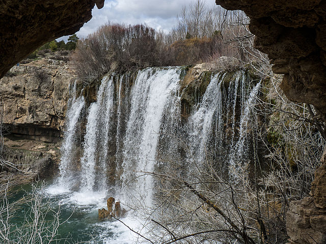
Birth of the Pitarque River (PR-TE 67)
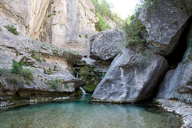
This is one of the most magical places in Teruel, up to the point that it has been declared a Natural Monument. The Birth of the Pitarque River is one of those places worth seeing in Aragon, besides the way to get there is beautiful.
The circular route runs through forests and rocky cliffs, with a length of 8.8 km. It can be easily completed in about 2 hours and a half, with a cumulative slope of 216 m. The route is affordable and the slope is smooth, and also is well signposted.
In addition to the river’s own birth, it is of great interest to visit the town center of Pitarque, where the trail begins and ends. Another place worth a visit along the route is the Hermitage of the Virgen de la Peña.
Cabrielˈs eyes and waterfall of the Sawmill (Tourist Trail GR 10.1)
This circular trail is enclosed within the natural beauty of the Albarracín mountain range. Along the way, the water murmur and its cascades among pine forests and rare geological formations will surely surprise you.
The route has a total length of 8.3 km and can be traveled in about 2 hours, with a slope of 165 meters. It is well signposted and maintained, so it is easy to follow.
It begins in the town of El Vallecillo and leads to the bank of the Cabriel River, from where it follows an upwelling that increases the flow of the river known as Cabrielˈs eyes. A little further we can admire the river waterfall, next to which are the ruins of a smithy from the 16th century. From there, the path leads to the Cavero tower and then to the waterfall of the Sawmill of San Pedro.
After enjoying the walk, we return to El Vallecillo following the same path.
Of course, there is much more to discover in Aragon. So if we have not mentioned your favorite trail, leave us a comment so that the entire Walkaholic family benefits from your experience.
Who knows? We may meet one of these days on the routes of Aragon, discovering the magic of this region.