Hiking is not just mounts and peaks. If you enjoy the sea, sunsets, cliffs and grazing meadows, you also have the opportunity to hike along the Spanish coastline.
Spain has more than 4,900 kilometers of coastline, and although much of it is inhospitable or urbanized, there is a lot of shore to be measured by our steps.
In 1992, an extensive network of trails started to be created in Canada. It’s original name was the Trans Canada Trail, although since 2016 has been renamed to The Great Trail. It’s a 24.000km network of trails that connects the 10 provinces and 3 territories of Canada. The web of the project is https://thegreattrail.ca
It’s not only a hiking friendly project, but more a pedestrian path/canoe route/biking trail. Little more than a third of the total amount of kilometers, 8.500, are next to roads or highways. 7.000km are categorized as waterways, including the famous Lake Superior, which is commonly know as the largest lake in the world. And the rest 5.000km, are considered of various types.
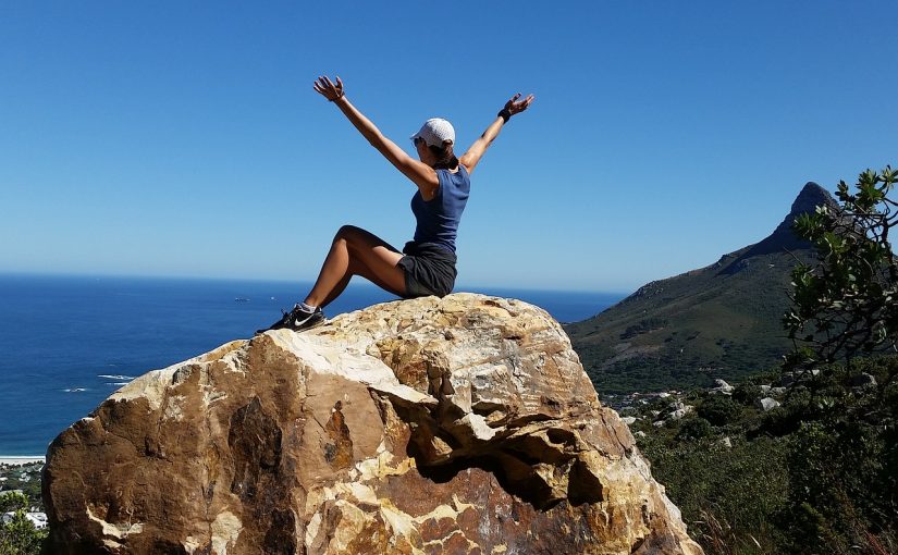
Last April, I went with a very good friend of mine to do a trek near my hometown. I grew up in the province of Alicante, in Southeast Spain. In a very tiny town named Xirles, 15km off the coast. My friend and I wanted to sleep at the mountain, in order to do a longer trek, and enjoy the evening. So we hiked two of the most relevant mountains in the area. Puig Campana and Mount Ponoig (Sleepy Lion in English, or “León Dormido” in Spanish).
Puig Campana is a mountain with an elevation of 1,406 m (4,613 ft). And Mount Ponoig is 1,181 m (3,874 ft). These mountains are very close to each other. From top to top, the shortest walkable distance is only 4,11km.
Legends of Puig Campana
Among the locals, there are a few stories that talk about the mountain of Puig Campana. I’ve even checked in the Wikipedia, in order to see if some match the one I remember since I was a child. But none fit, although they are very close between each other in the essence of the myth.
During the past easter of 2017, I did with a friend of mine El Camí de Ronda (Catalan) or El Camino de Ronda (Spanish). It was a 5 days trek through the Costa Brava (Girona), to one of the most famous trekking routes of the Mediterranean.
This coastal path got formed during the 19th century, due to small footprints through the cliffs. But during the 20th century, it was used by the Guardia Civil (Spanish military forces) to prevent smuggling. Nowadays, this beautiful trekking route, has only leisure purposes. You can either walk it by parts or in a row.
You can start the trekking route at the North of the Girona province, in Portbou, and go until the South of the Tarragona Province, in Ulldecona. Apparently it actually goes all the way down to Malaga, in Andalusia. The difference between regions is big, and the worst one is the part of the Valencian Community, which is not signposted at all. The length of the whole route of El Cami de Ronda through Catalonia is 583 kilometers, and you could check the itinerary of the Catalan path here.
Between Llançà and Port de la Selva (Cami de Ronda) / Picture by Teresa Grau Ros https://www.flickr.com/photos/teresa_grau_ros/15401298963
Esta web utiliza cookies propias y de terceros para su correcto funcionamiento y para fines analíticos y para fines de afiliación y para mostrarte publicidad relacionada con sus preferencias en base a un perfil elaborado a partir de tus hábitos de navegación. Contiene enlaces a sitios web de terceros con políticas de privacidad ajenas que podrás aceptar o no cuando accedas a ellos. Al hacer clic en el botón Aceptar, acepta el uso de estas tecnologías y el procesamiento de tus datos para estos propósitos. Ver

")