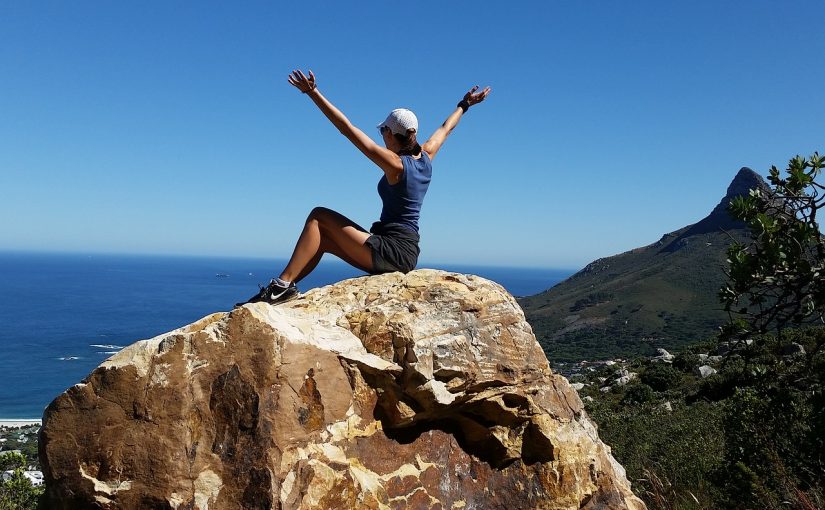
Hiking is not just mounts and peaks. If you enjoy the sea, sunsets, cliffs and grazing meadows, you also have the opportunity to hike along the Spanish coastline.
Spain has more than 4,900 kilometers of coastline, and although much of it is inhospitable or urbanized, there is a lot of shore to be measured by our steps.
Therefore, from Walkaholic we propose 9 coastal hiking routes for all, to discover from deserted beaches to magnificent natural parks.
Contents
Afur-Taganana (Santa Cruz de Tenerife, Canary Islands)
This route of medium-high difficulty goes for 13 km through the wild coastal landscapes of Tenerife, in the Atlantic Ocean.

Started in Afur and ending at the nucleus of Taganana, you will be able to appreciate along the way hamlets with thatched roofs, old vineyards and abandoned wineries to learn more about the wine culture of the area.
Tenerife will always be a privileged place for hikers, thanks to the beautiful rocky and coastal landscapes it offers throughout the year.
Bustio-Pendueles (Asturias)
Starting at the Remansona de Bustio Park in the Ribadedeva district, this route skirts Las Gurizas mount and approaches the El Pindal prehistoric cave, where you can complete your coastal hiking getaway with the sightseeing of cave paintings and engravings.

Then, the trail goes on to the Picu de Pimiango viewpoint. From there you can admire the magnificent panoramic view of the pre-coastal valley and the European Peaks at the background, while at the other end you can see the line of the marine horizon. The route ends in the Pendueles parish, ideal to enjoy the Asturian coastal cuisine and recover strength.
Camí de Cavalls (Menorca, Balearic Islands)
With its 185 kilometers, this historic path circumvents Menorca by its coastline in one of the most memorable Spanish routes. Marked as GR-223, there is plenty of natural splendor, heritage and historical memory with the Mediterranean as protagonist and backdrop. It is divided into 20 stages of different difficulties.

In the 18th century the Camí de Cavalls, or Camino de Caballos, was used by the military to monitor the bay and the coast. Because of its relevance to the island, it is not a simple sum of trails, but a collective heritage of the Menorcans.
The path of the Archduke (Mallorca, Balearic Islands)
In the Sierra de la Tramontana, Archduke Luis Salvador of the Austro-Hungarian imperial family found paradise. One of his contributions to Mallorca was a bridle path that goes from Valldemossa to the heights of the Teix peak.
Luckily, this path is preserved in most of its layout and allows us to discover the beauty of the Mallorcan Mountains, full of rosemary and thyme smells and away from crowded beaches and large hotels.
With 8 kilometers this route, it can be travelled in about 3 hours. It starts at the end of the Carrer des Olivers, on the outskirts of Valldemossa, goes up to the Puig des Caragolí of 994 meters of altitude, and then goes through the shelter of the Teix, to return by the Pla des Pouet.
The path of Cabo de Gata (Almería)
Located in the Cabo de Gata Natural Park, this bridle path along the Mediterranean coast has cliffs rises and falls, black pebbles beaches and dry ramblas. Its 55 km are best enjoyed in three days, in an intimate setting and scarcely trampled by human activity.

Starting in Aguamarga, it passes through the Cala del Plomo, Las Negras, Los Escullos, San José and the beaches of Los Genoveses and Mónsul. It ends in the Cabo de Gata lighthouse, with a magnificent view of the sea at sunset.
The Mount Jaizkibelˈs path (Guipúzcoa)
Included as a stage of the North Road to Santiago, this trail crosses the abrupt and broken profile of Mount Jaizkibel, between Hondarribia and San Sebastián.
Its 20 km in length seems easy for the most experienced, but on hot days it is challenging due to the cliff rises and falls.
Starting at the Guadalupe sanctuary in Hondarribia with a forest road halfway up the Jaizkibel Mountain, it descends to Pasajes de San Juan, crosses the estuary and climbs to the La Plata lighthouse. After a difficult stretch, it ends at the Gros beach in San Sebastián.
Peñíscola-Alcalà de Xivert (Castellón, Valencian Community)
The Sierra de Irta Natural Park has 15 km of coastline that connects Peñíscola with Alcalà de Xivert, two towns that are among the most beautiful of the Valencian coast.

They are also famous: the first of them, Peñíscola, was the scenario of Game of Thrones season six, transformed into Meereen. Alcalà de Xivert, with less than 7,000 inhabitants, is in the historic territory of El Maestrazgo. You should not miss a visit to the castle at the end of the route.
Coastal path of Asturias (Asturias)
This footpath is signposted and forms part of the great European route E-9, which joins Saint Petersburg (Russia) with Cape Saint Vincent, in Portugal. Known by locals as the Coastal Path, it runs along the Asturian coastline.

There are several sections well signposted and preserved that are worth visiting, depending on the degree of difficulty you choose. Among them are the Bustio to Llanes with 36.3 kilometers, from Llanes to Celorio with 5.4 kilometers, from La Ñora beach to the center of Gijón with 10 kilometers, the Barayo-Navia with 17.1 kilometers, Tapia de Casariego to Vegadeo with 34.3 kilometers and from Arenal de Morís to La Griega beach, with 12 kilometers in length.
Senda Litoral (Malaga, Andalusia)
The Senda Litoral (GR92, E12) includes more than 200 kilometers of coastline to travel by foot through 14 municipalities of Costa del Sol.
Departing from Nerja and arriving at the Castle of the Duquesa de Manilva, this is one of the best preserved trails in Spain. Along the way you will be able to admire the 42 towers of the Málaga coastline, as well as the Phoenician deposits of Vélez-Málaga.
Did you like our recommendations? Of course, there are many other Spanish coastal routes that deserve to be included in this list. If the one that you prefer is not, leave us a comment so we all benefit from your experience.
Who knows? Maybe we will meet on the coast one of these days and enjoy together a sunset over the horizon.
Apúntate a nuestra newsletter semanal
Te enviaremos un correo cada semana con el nuevo artículo junto a las novedades de nuestra app móvil de senderismo.